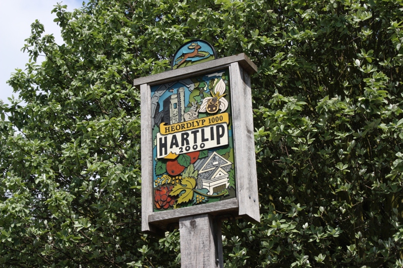
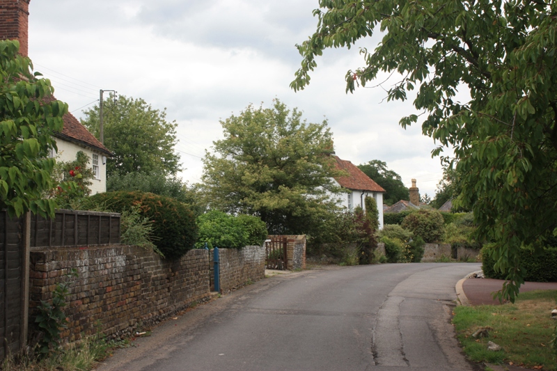
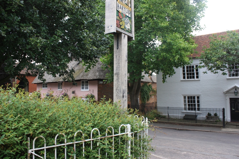
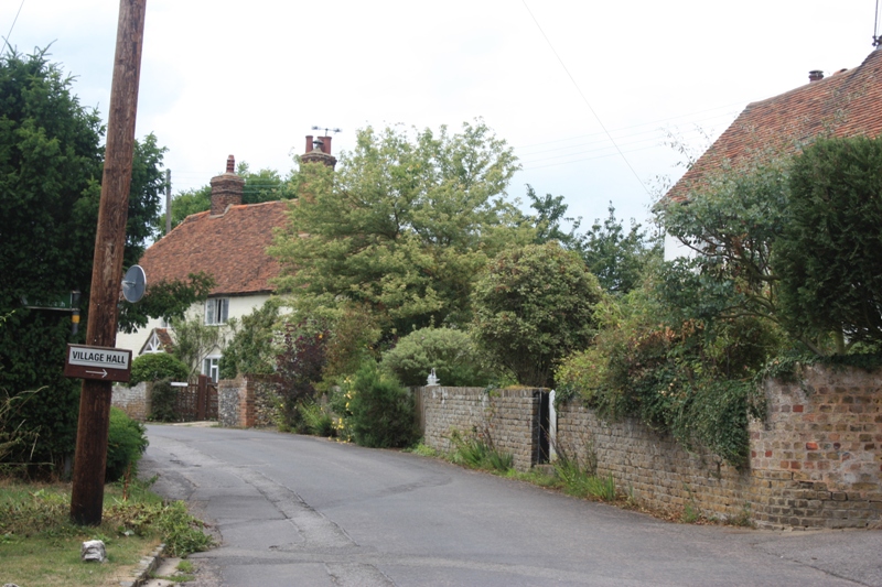
The village of Hartlip is long and narrow situated about 2 miles east of Rainham, bounded to the north by the A2 and to the south by the M2. It is spread along narrow parallel roads and lanes set among orchards with the centre of the village built upon a ridge which commands excellent views of the Medway Estuary. The village name probably has its origin in Anglo-Saxon times, meaning the leaping of the hart i.e. deer:
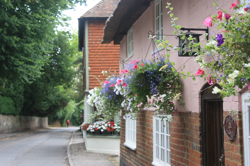
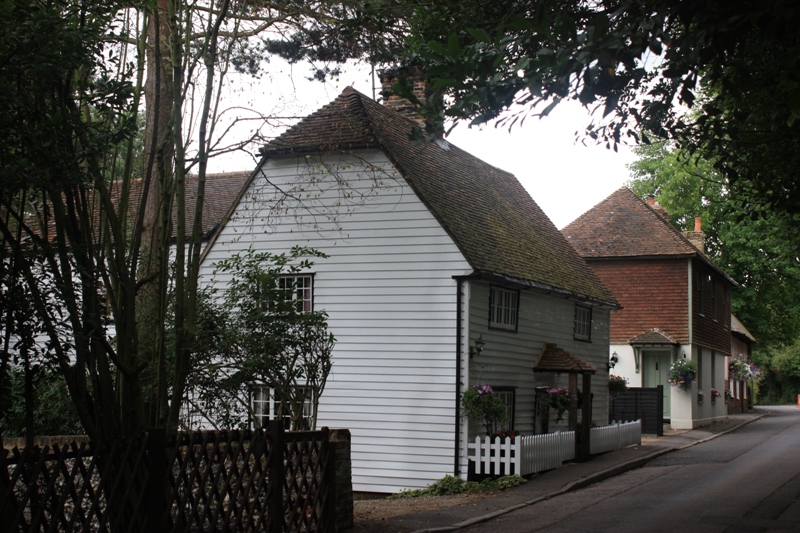
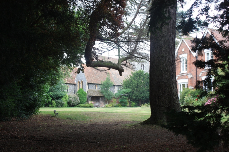
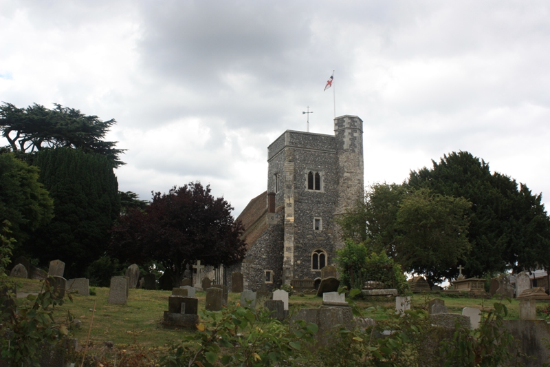
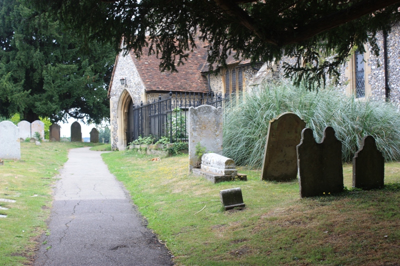
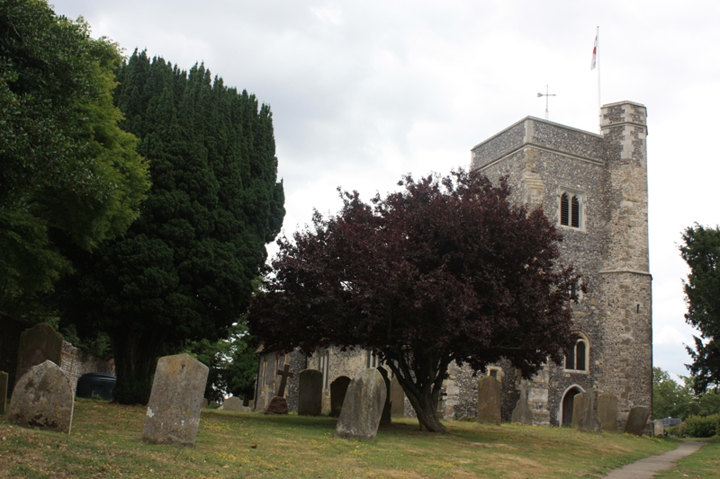
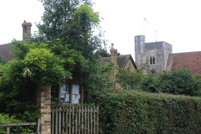
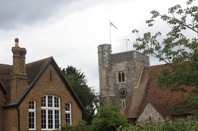
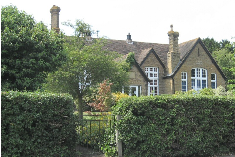
Hartlip Village is interesting and picturesque, and has many listed buildings and houses. The centre of the village is now a Conservation Area in which the main feature is the early 13th century Church of St Michael and All Angels. The village also includes one of the earliest Methodist Chapels in Kent, built in 1820, and a School founded in 1678.
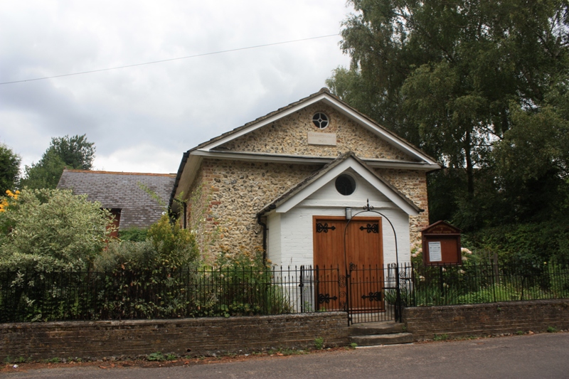
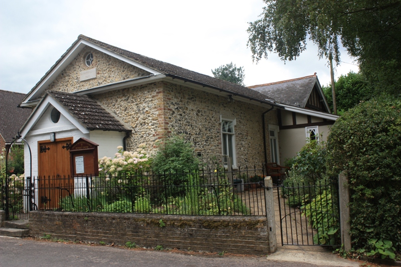
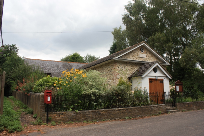
The Village hall was opened in 1932 before electricity had reached the village, and was lit by oil lamps and heated by two large coke-burning stoves.
Hartlip is fortunate in having a well-equipped village hall seating 100 people in rows, 95 at tables and 100 for dances, discos. A variety of people use it at present and please take a look at the Activities page. The Hall is used for annual functions including the pantomime, harvest supper, church bazaars and for other events such as wedding receptions, birthday parties, wine and wisdom evenings, jumble sales etc. It is also used as the village Polling Station. It is run by a Committee consisting of representatives from various village organisations and by co-opted members.
Address: Hartlip Village Hall, The Street, Hartlip, Sittingbourne, Kent. ME9 7TH
Location Map
Useful Links